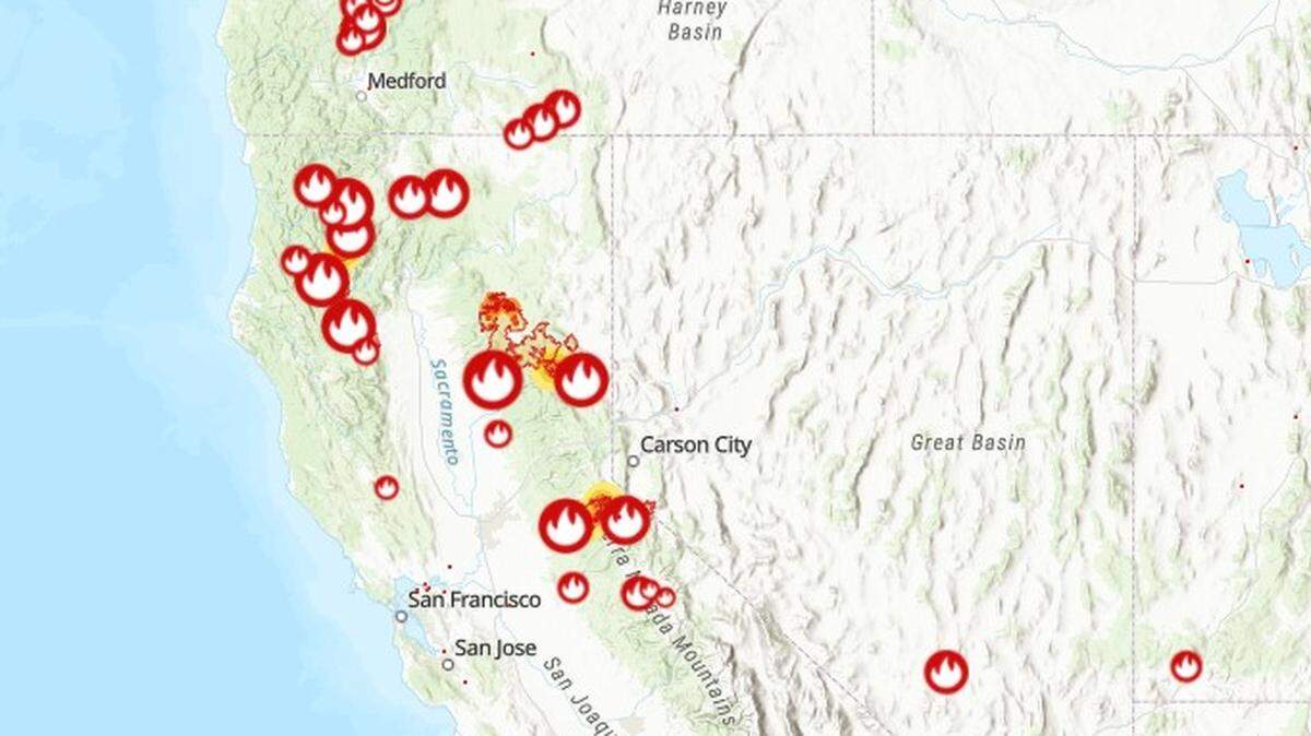
Interactive map of current air quality for California and across the U.S.
READ MORE
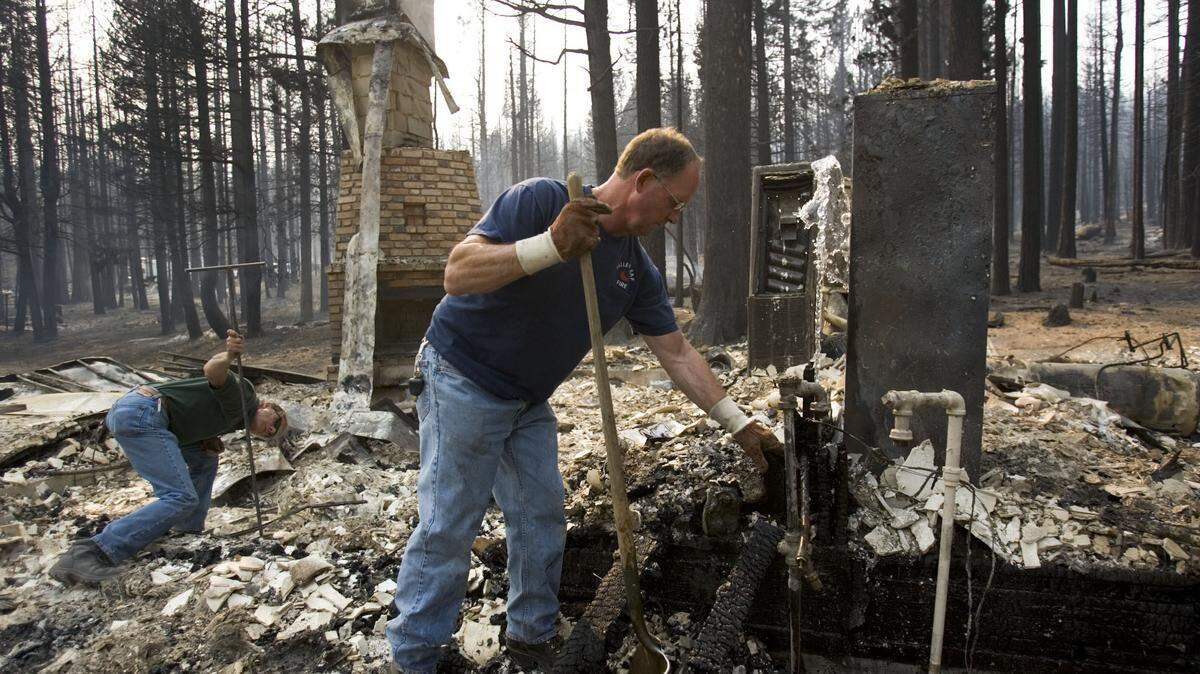
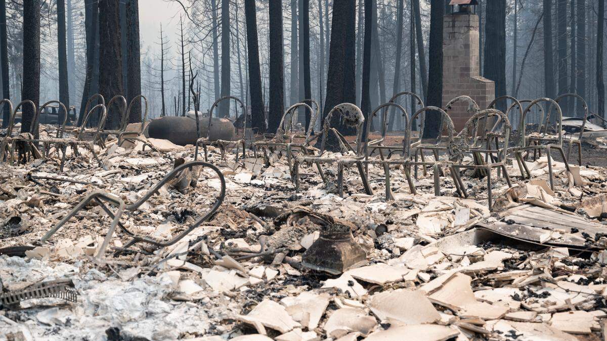
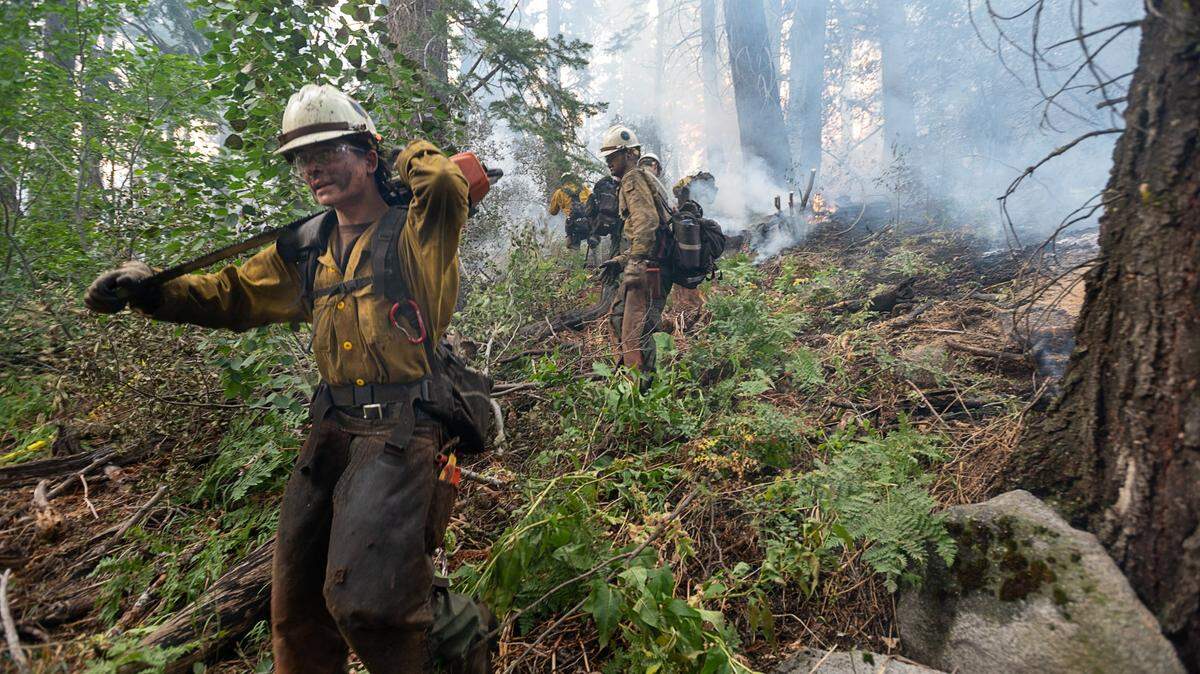
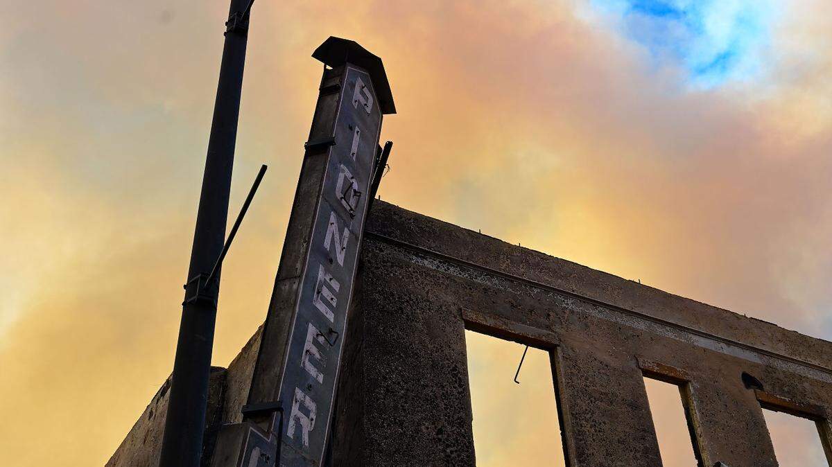
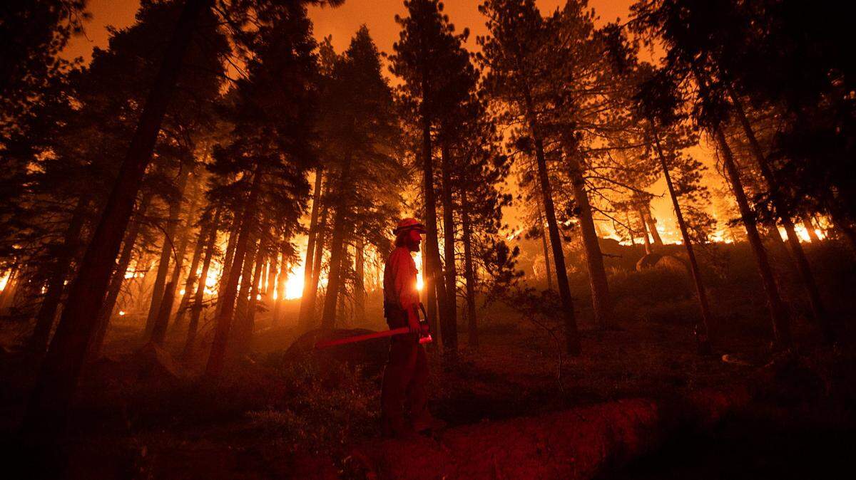
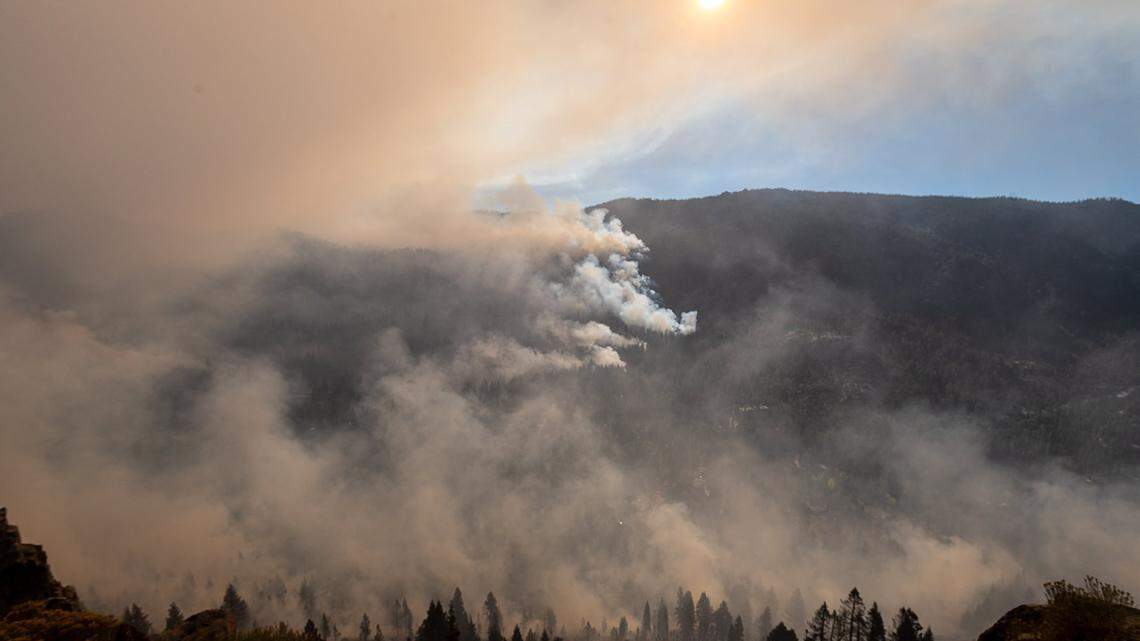
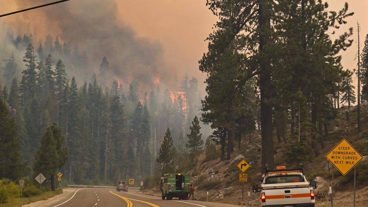
California Wildfires
The latest on the wildfires burning in California. Get updates on the Caldor Fire, Dixie Fire and others, including size, containment, evacuation orders and more.
Expand All
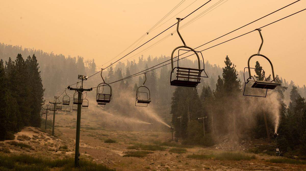
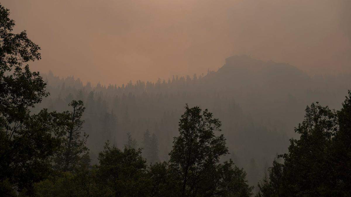
As wildfires continue to burn across Northern California, air quality is top of mind for many. The air has been hazardous for days in many communities in the region.
This interactive map shows community-level air quality readings for all of California (it also has data for other states). The data updates every hour.
This chart also allows you to search for your city to see the air quality for today and two previous days. The charts indicate readings from good to hazardous.
This story was originally published September 1, 2021 at 5:00 AM with the headline "Interactive map of current air quality for California and across the U.S.."
.JPG)