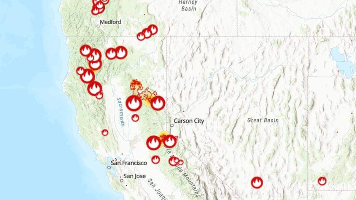
Interactive map shows where every wildfire is burning in California
READ MORE
California Wildfires
The latest on the wildfires burning in California. Get updates on the Caldor Fire, Dixie Fire and others, including size, containment, evacuation orders and more.
Expand All
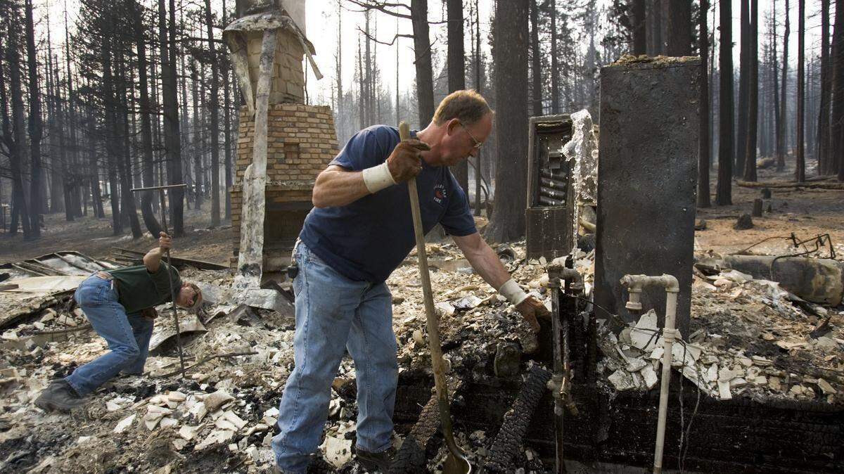
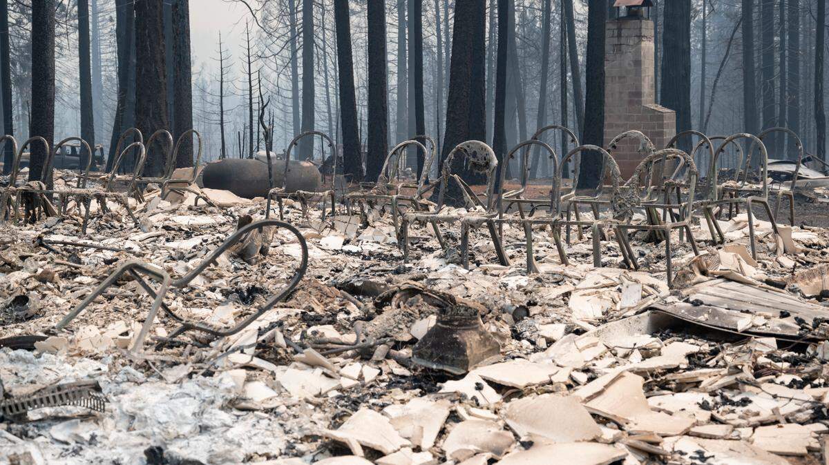
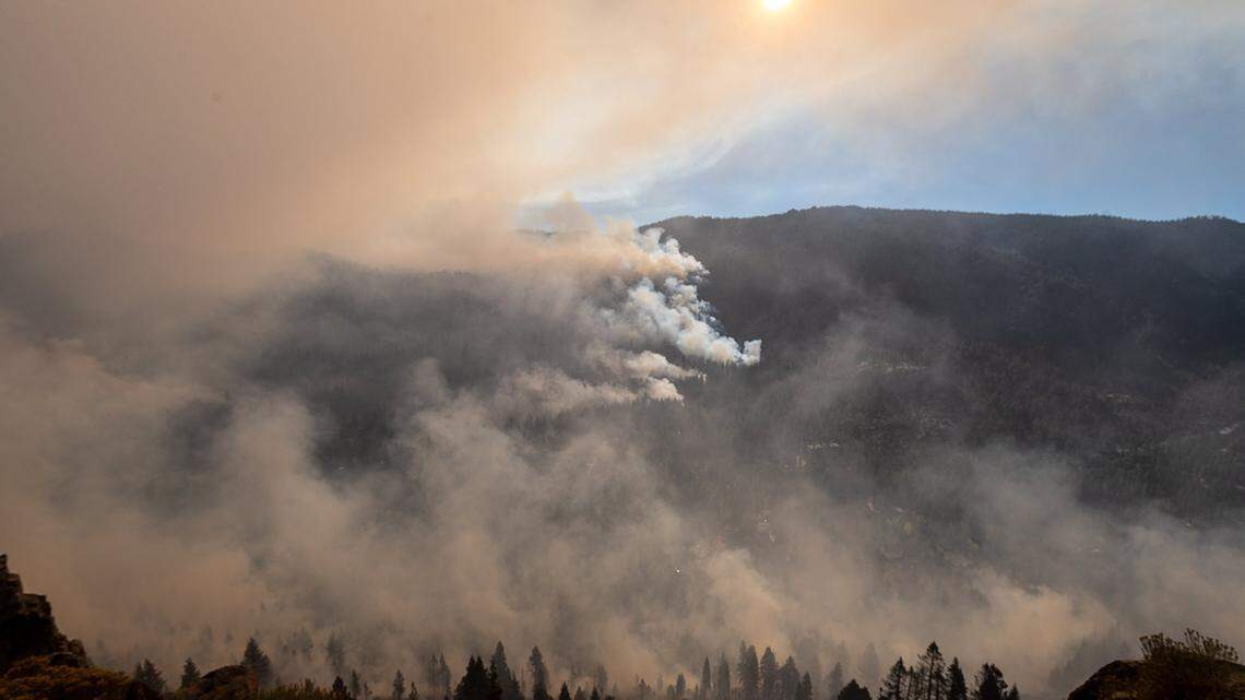
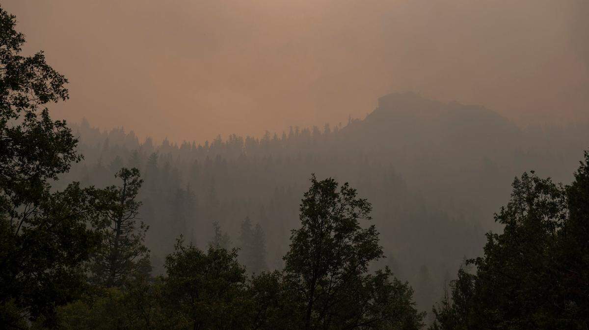
Wildfires have already burned nearly 1.8 million acres in California this year, according to Cal Fire. Those blazes have destroyed nearly 3,000 structures.
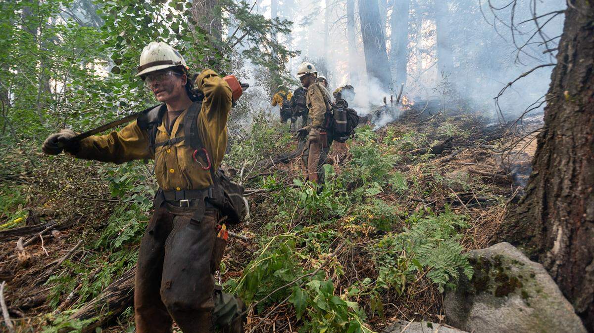
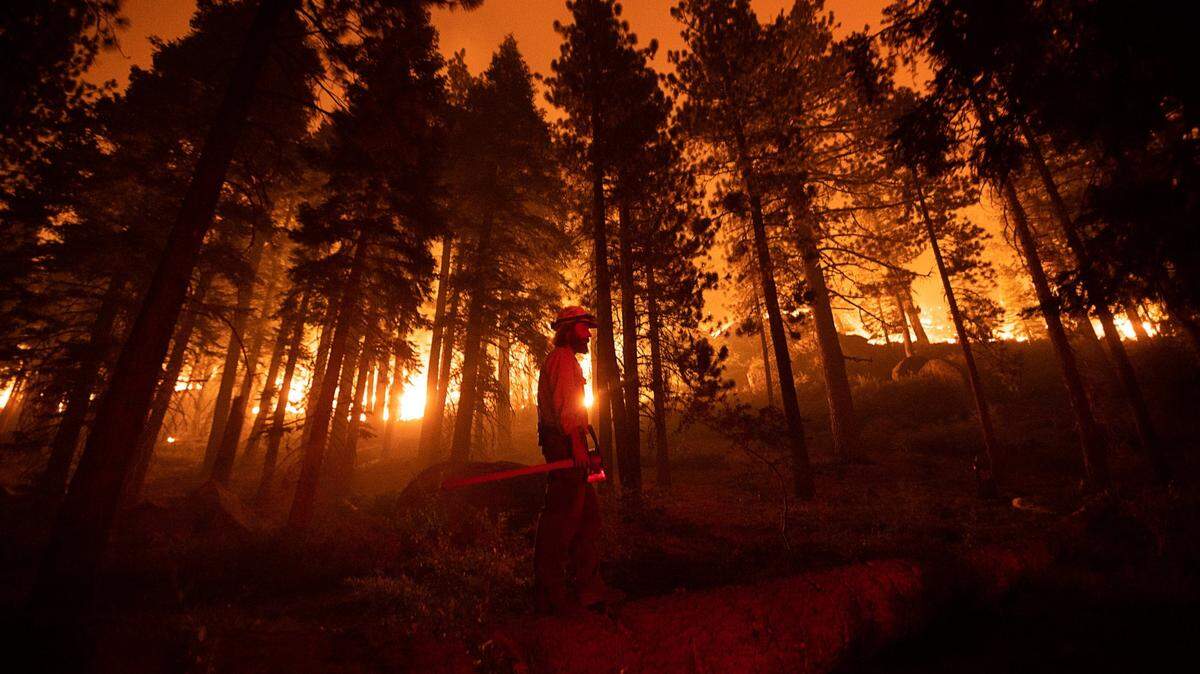
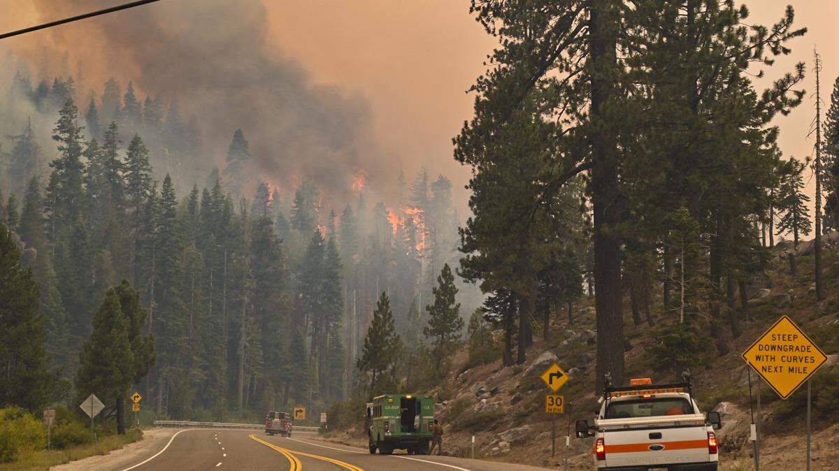
This interactive map shows where major fires are burning in California and the rest of the nation, including updates on the Caldor Fire burning near Lake Tahoe.
Other large fires on the map as of Tuesday include the Dixie Fire burning across five counties in Northern California and the Monument Fire in Trinity County.
This story was originally published August 31, 2021 at 5:00 AM with the headline "Interactive map shows where every wildfire is burning in California."


.JPG)