Where is Park Fire burning in Northern California? How close is it to Paradise? See map
READ MORE
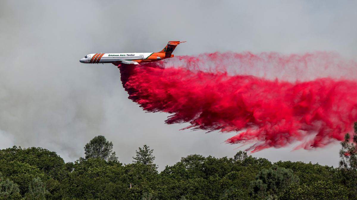
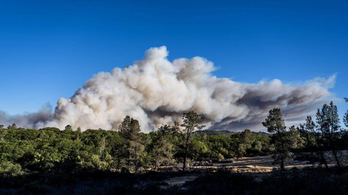
Park Fire blazes near Chico
Here’s our latest coverage as the wildfire blazes through Northern California.
Expand All
The Park Fire has grown to more than 400,000 acres in Northern California, claiming its place as the largest wildfire in the state this year.
As of Friday morning, the wildfire had spread to four counties, and was 34% contained, according to the California Department of Forestry and Fire Protection.
The blaze started on July 24, near Upper Park Road in Upper Bidwell Park, east of Chico, Cal Fire said.
Cal Fire arson personnel arrested a 42-year-old Chico man on suspicion of starting the Park Fire, officials announced Thursday.
Exactly where is the Park Fire burning in Northern California? Which areas have been evacuated? Here’s where you need to know:

Where is the Park Fire burning?
As of Friday morning, the Park Fire had scorched a total of 428,808 acres in Butte, Plumas, Shasta and Tehama
According to Cal Fire’s Friday morning update, the Park Fire had burned 113,022 acres in Lassen National Forest. It also blackened 52,937 acres in Butte County and 375,807 acres in Tehama County.
See the interactive map of the Park Fire’s real-time activity, according to the National Interagency Fire Center:
Which highways, roads are closed due to Northern California wildfire?
Travel on a number of local roads has been affected by the wildfire.
As of Friday, Highway 32 was closed from 13 miles east of Forest Ranch in Butte County to the junction with Highway 36 in Tehama County due the the wildfire, according to Caltrans.
Highway 36 was closed from 8 miles west of Mineral at Little Giant Mill Road in Tehama County to the junction of Highway 89 in Plumas County as a result of the blaze, the state road agency said.
Caltrans also closed Highway 172 to traffic from the east junction of Highway 36 to the west junction of Highway 36 in Mineral.
Where are evacuations?
As of Friday, all evacuation orders and warnings had been lifted in Butte County, Cal Fire said.
However, some evacuation orders and warnings remained in effect in Tehama, Shasta and Plumas counties in response to the Park Fire.
Lassen Volcanic National Park remained closed due to the wildfire.

How close is wildfire to former Camp Fire site?
The Park Fire was burning close to where the Camp Fire destroyed more than 153,000 acres in Paradise in 2018.
Paradise is about a 16-mile drive from Upper Bidwell Park.
The Camp Fire scorched the Butte County city for 17 days and resulted in the deaths of 85 fire personnel and civilians, according to Cal Fire.
This story was originally published July 25, 2024 at 12:35 PM with the headline "Where is Park Fire burning in Northern California? How close is it to Paradise? See map."