
It isn’t over yet. Flood-inducing storm expected in Fresno for mid-week into weekend
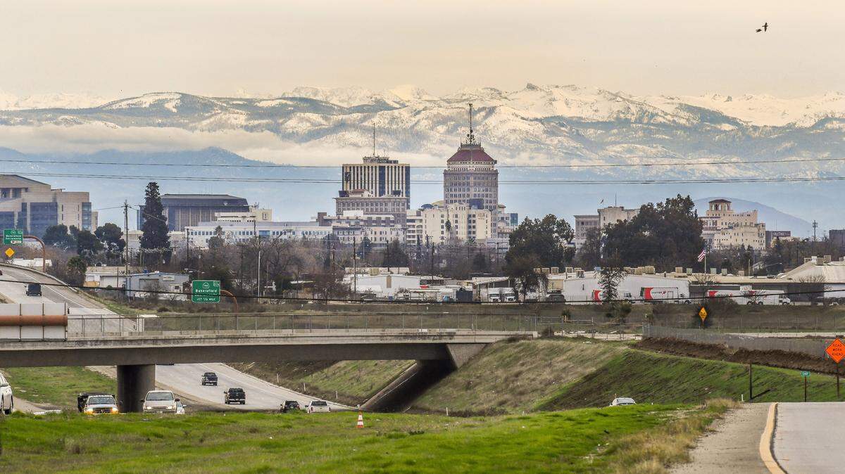
There were some postcard-level views of the foothills around Fresno on Tuesday, thanks to a break in the rain.
It’s a quick respite before a series of storms that are expected beginning Wednesday, running through into next week.
According to the National Weather Service, Fresno could see as much as two inches of rain on Wednesday and Thursday — and a flood watch has been issued for much of the area.
“Any place that receives rainfall could experience periods of at least nuisance flooding,” the weather service said in its daily forecast discussion. “The ground in these areas is saturated due to previous storms.”
Rockslides and mudslides are possible in canyons and steep hillsides in the Sierra Nevada foothills, where last weekend’s storm has already closed down a section of Highway 168 into (and out of) Shaver Lake. Travel may be difficult or nearly impossible at elevations above 5,000 feet, where the weather service has issued a Winter Storm Warning through Friday morning.
A second storm system is expected to hit the area on Saturday, though with “lesser amounts of precipitation.”
Still, “the more rain we receive, the higher the chance for impacts, such as additional rises in rivers, creeks, and streams, as well as flooding and debris flows,” the weather service said.
The rain may continue into the middle of next week.
The storms continue a trend of wet weather that started in December, when Fresno got 4.59 inches of rain. That was well more than the rain seen in the remaining 11 months combined. According to the U.S. Drought Monitor, the majority of Fresno County remains in extreme drought conditions.
This story was originally published January 3, 2023 at 12:33 PM.